Site investigation
Route reconnaissance - Cavity detection - Line and object location - Cavity location - Dike investigation - Landslide investigation
In the course of the preparation of a construction project, site investigations must be carried out. The investigation program and scope depend on the degree of difficulty and the size of the planned construction project. After a detailed check of all information at hand and inspection of the planning documents, a historical research is carried out with regard to the former use of the property as well as existing site information from investigation campaigns in the immediate vicinity. Subsequently, the site investigations are started, whereby a general investigation permit as-completed drawings must be present.
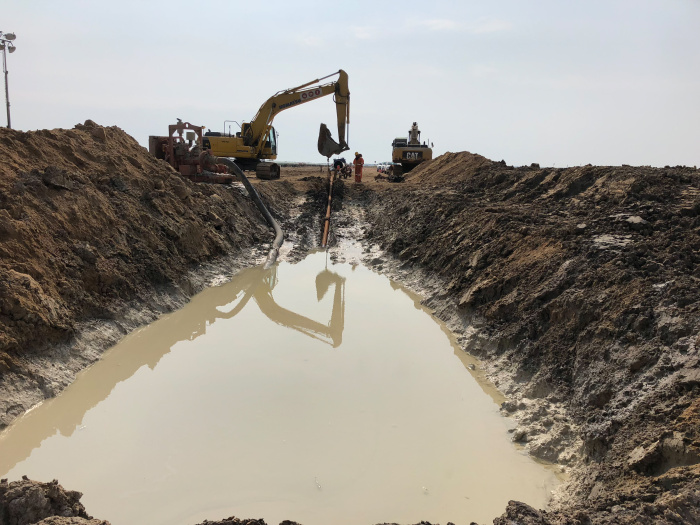
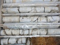
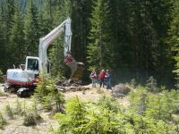
Usually a sufficient number of explorations in the form of diggings and drillings are created and, if necessary, further field tests such as piling or cone penetration tests are carried out. In addition to a qualified drilling description, soil and rock samples shall be taken from the drill cores and, if necessary, from outcrops, which shall be examined in soil and rock-mechanical laboratories. After a compilation of all individual findings, soil and rock mechanical parameters, geotechnical calculations and documentations of all investigations carried out, a subsoil report is prepared.
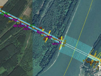
Geophysical investigations (surface measurements, downhole/crosshole measurements) are often carried out in addition to the above-mentioned geotechnical investigations for more complex subsoil situations and more demanding problems. The result of geophysical investigations can serve the soil expert e.g. to better delimit homogeneous areas. However, indications of local changes in the subsoil can also be recorded and layer boundaries can be identified and tracked on the basis of corresponding geophysical measurements. After a calibration of the measurement results with geological information from drillings and an overall interpretation of the geotechnical and geophysical exploration, a detailed subsoil model is developed, which forms the basis for further project planning and construction.


