Route reconnaissance for line structures
Pipelines, lines and canals in trenchless construction - HDD, microtunneling, direct pipe
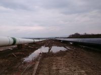
In the run-up to pipeline laying measures in trenchless line construction (HDD, microtunneling, direct pipe) – especially in demanding culvert projects – we carry out geological and geophysical route exploration. Depending on the boundary conditions and the expected geological subsurface situation, we use various methods to create a high-resolution geophysical model of the subsurface in the route area. The geophysical model is calibrated with information from drillings, direct outcrops and soundings. Additional geological information (geological context, geological maps, etc.) is included to create a meaningful geological model of the subsoil, which serves for further planning, preparation and cost calculation of the construction project.
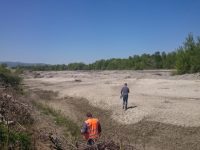
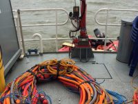
We carry out measurements both on land and on water (rivers, lakes, swamps, offshore). Many of the major projects that we successfully carried out worldwide over the past decades have extended over route lengths of up to 2 kilometres or more.
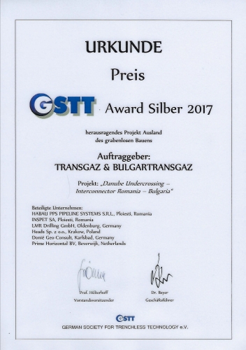
One of our larger successfully completed projects was the geological and geophysical exploration and assessment of two parallel gas pipeline routes between Romania and Bulgaria (Danube culvert) in a geologically highly demanding area. Following the laying of the two pipelines using HDD at the absolute limit of the technology, the entire project was awarded the GSTT Award Silber 2017 as an “outstanding project abroad in trenchless construction”.
For over two decades Dr. Donié Geo-Consult GmbH has been a member of the Güteschutz Horizontalbohrungen e.V. / Drilling Contractors Association (DCA).
